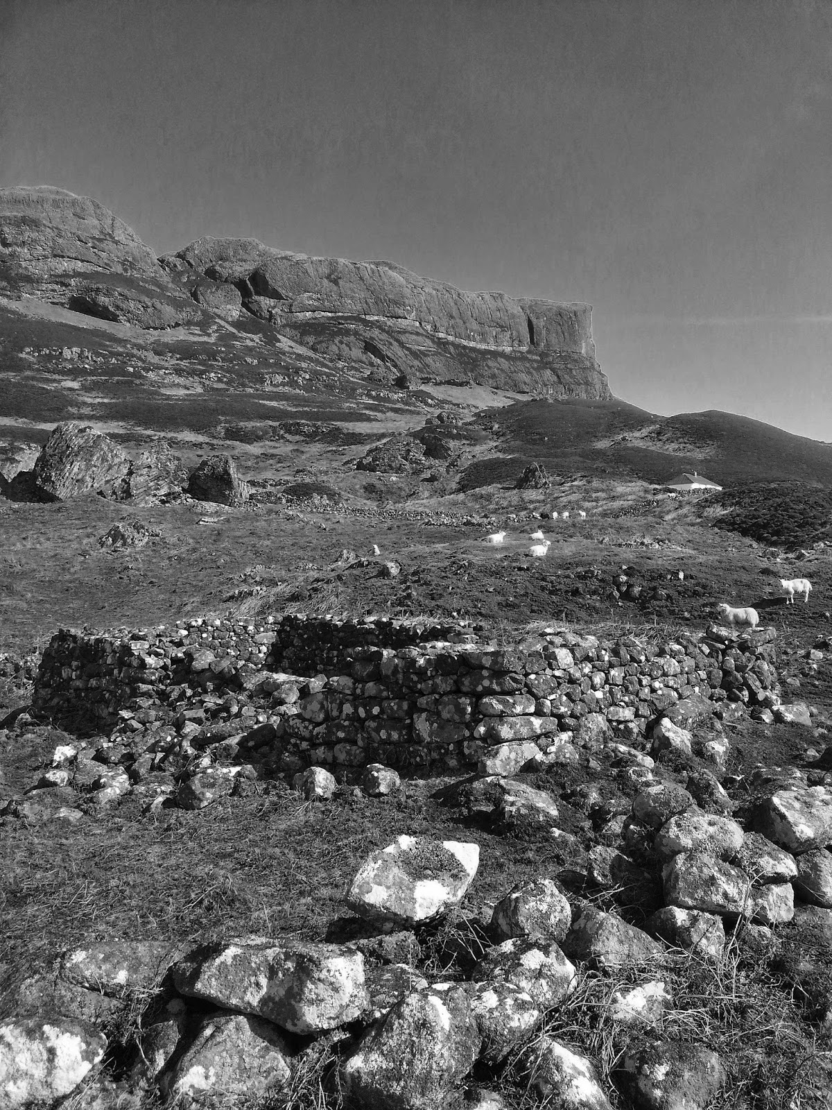
Scotland's Iconic Mountains #Broad Law
BROAD LAW

The rolling hills east of the modern
motorway of the M74 hold much more character and history than they appear from
the west, where they are now flanked by forestries of spruce and wind-farms. In
medieval times this was a Scottish royal hunting ground – the ‘Ettrick Forest’.
Further east towards the Tweed valley,
there are echoes of a deeper Scottish history in the border towns of Hawick,
Selkirk, Galashiels, Peebles and Kelso, all on the banks of the historic River
Tweed and famous for their medieval forts and abbeys.

Looking west from Broad Law to the monoculture forestry and wind-farms of 21st C Scotland
This range of hills,
along with the northern flanks of the Cheviot hills, marks the geographical
transition to the once-contested border with Northumberland, with its high pass
over Carter Bar on the A68. The more useful sense of boundaries are suggested not
by the roads but by the watersheds: to the north the waters drain into the
River Clyde; to the south and west into the River Annan through Moffat to spill
into the Solway Firth; to the south and east into Liddlesdale; and to the east
the River Tweed escapes out of the hills to meander north past Norham Castle to
the sea at Berwick-Upon-Tweed, marking the border with England for some of its
way.
The names of the hills – ‘Law’, ‘Cleuch’,
‘Fell’, ‘Knowe’, ‘Rig’, ‘Pen’, ‘Hill’ – mark a linguistic transition to Anglo-Saxon,
Brittonic and Norse influences on the Lowlands, away from the Highland Gaelic
names such as ‘Beinn’, ‘Binnein’ and ‘Meall’. A ‘law’ is a rounded or conical
hill, a ‘rig’ is a ridge, a ‘knowe’ is a small hill like the English ‘knoll’,
and ‘Pen’ means ‘head’ or ‘peak’, from the older Brittonic tongue that still
survives in modern Welsh, in which country are many famous hills such as Pen y
Fan in the Brecon Beacons. The strange-sounding ‘cleuch’ is a Lowland Scots
term for a ravine or steep-sided valley, a variant of the Middle English ‘clough’.

The Megget Stone
The walk to the summit is usually shortened by an approach from the roadside Megget Stone. This is a famous
boundary-marking standing stone on the watershed of the pass between Talla and
Megget reservoirs – supposedly marking the ancient western boundary of the
Ettrick Forest hunting grounds. The parish of Megget was originally part of an
older Scottish barony of Rodonna and was later
granted by Alexander II to Melrose Abbey in 1236. This aged history gives way rather suddenly at the summit of Broad Law to the modernity of the 21st century, with the distinctive phased radio array station known as a 'VHF omnidirectional range' (VOR) which is used by planes to fix position in the local area when passing over.

Broad Law VOR Station
The distinctive mountain plateau is carpeted by short grass and sedges, with flanks of heather. Skylarks nest here in summer and their distinctive improvised song is redolent of any summer ascent of Scottish hills. Also of interest to the botanist is the plateau flora, including the distinctive cloudberry. This can
be found amongst the young heather in huge mats on the slopes of Broad Law.
This is an arboreal mountain berry of the Rosacea family (Rubus chamaemorus), its red berry
appearing in distinctive single fruits above often burnt-looking carpets of
leaves in summer. The hard and bitter red berry gradually ripens to an edible golden
colour in late summer.