Scotland's Iconic Mountains #Schiehallion
'The hill of the Caledonian pixies', if you like, is the classic pyramidal mountain - a stalwart of Scottish Munroists and regal in its isolation amongst the feeder lochs for the Tay and Tummel rivers. In 1774 its isolation was what attracted Nevil Maskelyne and Charles Hutton as they sought a regular and massive part of the earth they could measure, weigh and extrapolate the weight of the Earth. The tale is told entertainingly in Ian Mitchell's Scotland's Mountains before the Mountaineers. (Edinburgh: Luath, 2013). Perhaps of most enduring legacy was Charles Mason's method of slicing the mountain into conceptual layers to calculate weight, which led to the idea of contours as a useful topographical tool.
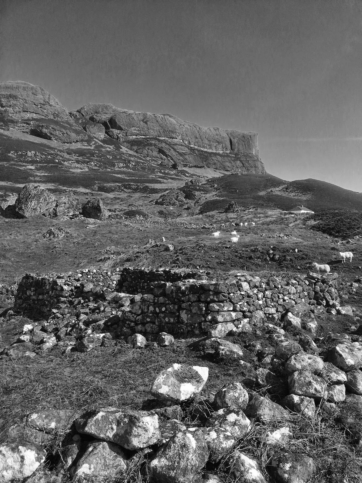
The site of the experiment was in the glen in the photo above. I recall reading the research bothy burnt down, or was immolated no doubt in celebration of leaving the midge and rain for the comforts of the city Society scene. The grouse and hares still patrol the snows, light-footed and unaware of the gravity of the place...


