
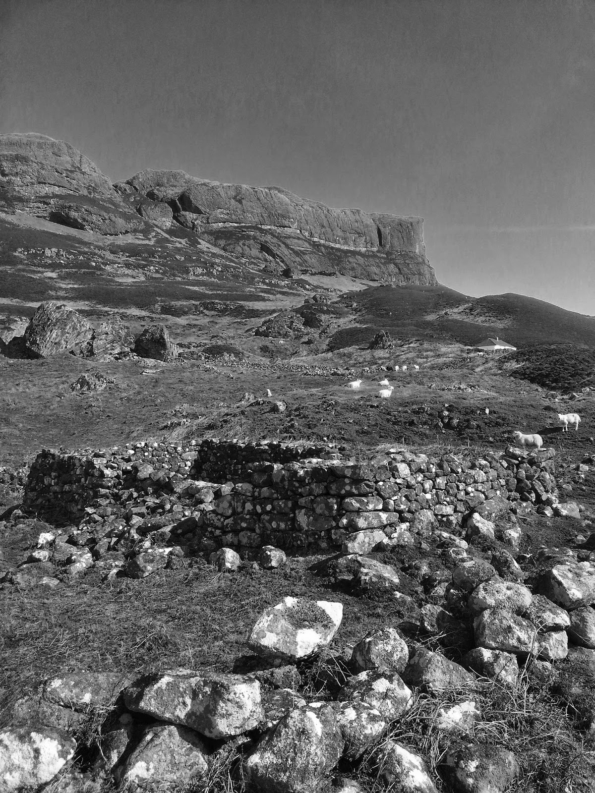
Ben Lomond - a Gaelic palette


Loch Lomond, Wednesday 28th December 2016

Mist, water and silvery light: a very Gaelic palette in midwinter between the storms, which these days all have names - we've been through Barbara's tantrums and Conor's backlash, but today was one of those steamed-up car sort of days. Warmish air from the southwest is rolling about Loch Lomond and gathering a chill as it picks up speed towards the snow-patched summit, so I take the clockwise 'wind with my back' option, steeply up the Ptarmigan ridge from Rowardennan, hearing a chuckle in the mist which is either a red grouse or the eponymous bird. Each landmark on the map is a clue to the Gaelic landscape - Tom Fhithich I think may be the raven's beak-nosed boulder or crag half up towards the knoll of Ptarmigan, which just breaks the mist, and assumes the role of target summit for the meantime as the main peak is in cloud. The small hidden tarns are full of slushy grey ice and the 'yellow bealach' is all bleached grass, sphagnum and dying moss, flattened by wind and snow at various defiles bearing the Gaelic 'gaoithe' (windy), which begins to dominate the adjectival topography above 600m.


The scramble up between the darkened wet schist of the north-west ridge leads to various false summits above the northern steepness of the Leac na Caillich (the old woman's stones/slabs), so I pick out target landmarks on the path as the mist closes in and swathes everything in oblivion. At the sudden summit trig point, a fine beacon point ('Lomainn') in summer, a few parties munch on cold turkey sandwiches, hunkering against the wind. A raven flaps and bounces about like a torn black bin-bag, tipping its wingtips and honking for leftovers.


Below us lies the snowy confines of Coire a Bhathaich, which is a shelter of a 'byre' in Gaelic (at least from prevailing south-westerlies). The long Sron Aonach (nosed ridge) descent trail leads past another north-eastern corrie, where few wish to linger, hence the name - Coire Fuar (the cold corrie). As the path and altitude descends, the colours return to the palette - Coire Odhar (the brown/orange corrie) and Breac Leac (the speckled slabs). The quartz whites, exfoliated schist greys and orange grasses all gain a little more sharper focus as the path drops down past the sounding of water bubbling in growing burns and birdsong in forestry, as though someone had turned up the volume after the tinnitus of mist and wind...


Popular posts from this blog

Vertical Landscapes: Exploring Glasgow's Hidden Bouldering

With the new guide to Glasgow Bouldering forthcoming, and with the last two years spent scouring our local landscapes for vertical diversion, many of us discovered a closer, more nuanced appreciation of climbing and how it helps maintain mental wellbeing as much as physical. The big mountains and wilderness landscapes were for the first time excluded from access and our pandemic taught us all to appreciate the landscapes on our doorstep. Even the urban world has its own small wildernesses and landscapes to immerse ourselves in for a while. For me, the daily walk in lockdown occasionally became a hunt for an esoteric piece of rock spied on the OS map or Google Earth. Rumours of boulders and mythologies of obscure rock were hunted down to help feed a hunger for the vertical. Even Dumbarton Rock was out of range, lying outside of the Glasgow City boundary. It's a venue which famously makes the blood run cold, with fiercely exposed overhanging routes, highball boulder problems and cl...

The Lost Township of Grulin on Eigg

‘The Stony Place’ as it translates, the archaeological notes on the RCAHMS database for Eigg, state baldly the lost humanity of Grulin as early as an 1880 OS survey map: ‘…eighteen unroofed buildings, six enclosures and a field-system’. Now a scheduled monument and memorialised as a ‘depopulated settlement’, though it is not obvious if the verb is passive or aggressive, Grulin Uachdrach (Grulin Upper) is, like Hallaig on Raasay, a place of violent silence and resonance. Who lived here and why was the site abandoned? If it were not in Scotland, suspicions might fall to the climate, remoteness and apparent unsustainability of the stony place, a rabble of large rocks under the steep slopes of An Sgurr, but the carefully constructed walls tell us it was once a thriving township – the kilns, folds and blackhouse walls integrated with the giant boulders such as Clach Hosdail. In 1853 the whole of the village of Grulin, both upper and lower, housed fourteen families who were forced to l...

Timeline Walks of Scotland #Hallaig to Screapadal on Raasay

'Tha tìm, am fiadh, an coille Hallaig ...' Hallaig - the lost village of Raasay - is a powerful place. Arguably, it has become a shibboleth for the soul of Gaelic culture. To visit it, to just be there momentarily and feel the resonance of the place, is to know the fragility of place and home, of how kinship can be shattered and how loss can invade a land. Aptly, Hallaig is now a site of pilgrimage for those who value the universal lessons of history.  There are t errible reasons for the loss of Hallaig. Its silent mouths of abandoned shielings, the dumb sheep meandering amongst the ruins, whisper with Sorley MacLean's poetry. The place misses the sounds of day-to-day community, and all around the woods and burns and slopes this tough but rich landscape once made this a hardy paradise under the eastern cliffs of Raasay. Facing east to the dawn and overlooking the peninsula of Applecross and the berry-dark depths of the Inner Sound, the walk to Hallaig leads quietly...