|
| ...not Scotland, as was promised! |
Towards the end of the week, the weather has settled a little and some clear skies and frosts set in. A massive coronal mass ejection (CME or solar storm) was predicted to hit the atmosphere on Thursday, but it was weaker than predicted and evening jaunts to the higher ground round Glasgow were fruitless. Iceland and Norway stole the show, seen live on Skygazing live on the BBC, or the 'lucky-bastards show' as it should be called. Hopefully an active sun will continue to have colourful hissy fits this winter...
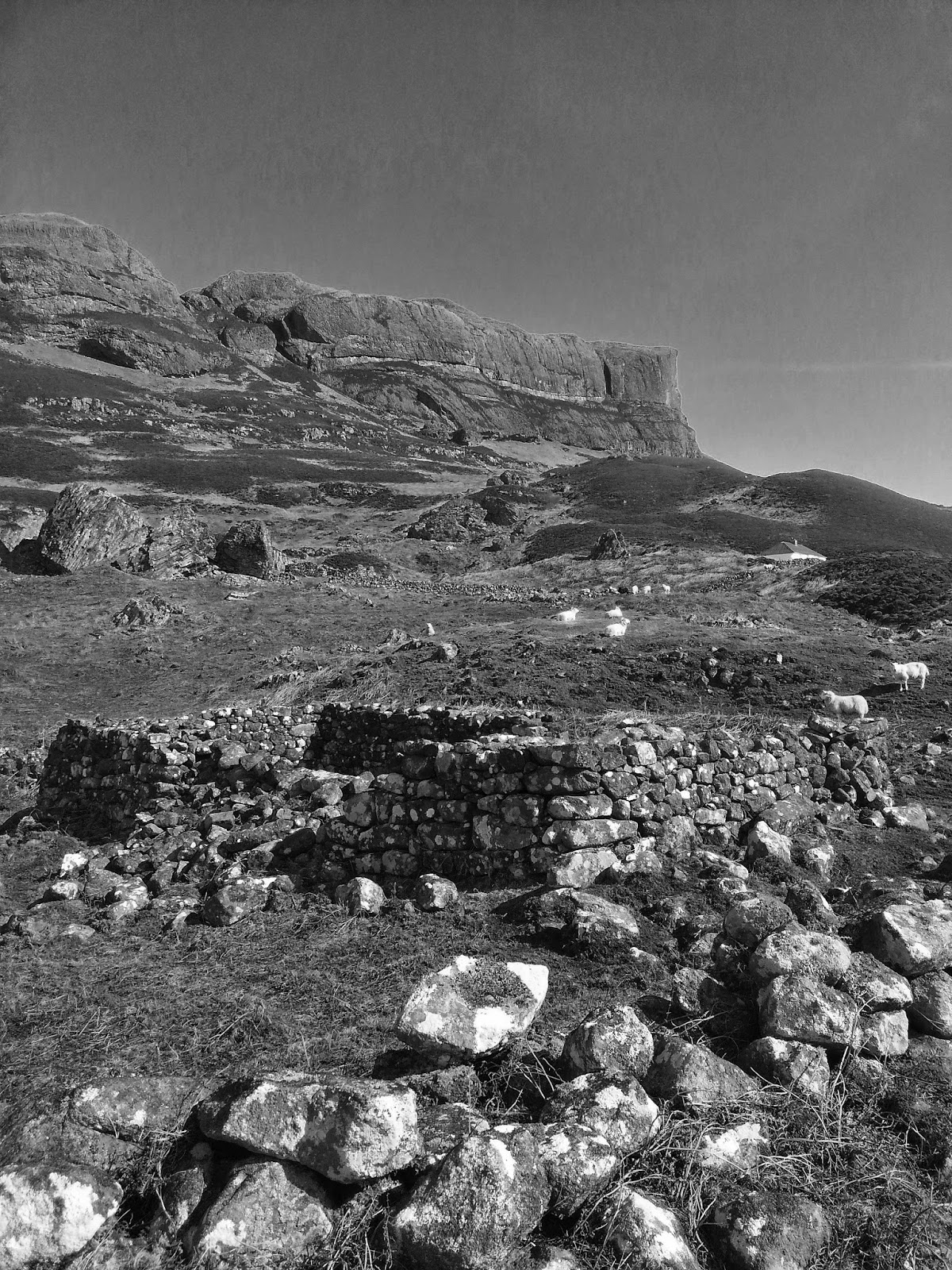
The clearer skies finally combined with a weekend, so on Saturday 11th, with the east of the country draped with medallions on the forecast, Colin and myself headed to Glen Lednock. Treacherous black ice on the pass over to Comrie (with a buckled jeep in a ditch behind a scribble of swerve-lines on the road) led to a slow approach but we made it up to Invergeldie Farm and stomped the locked-gate approach to the dam for the first enjoyable bouldering session of the year.
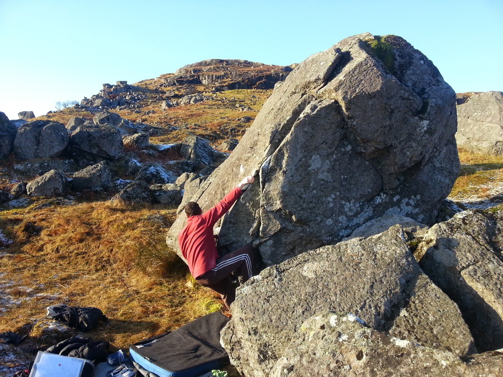
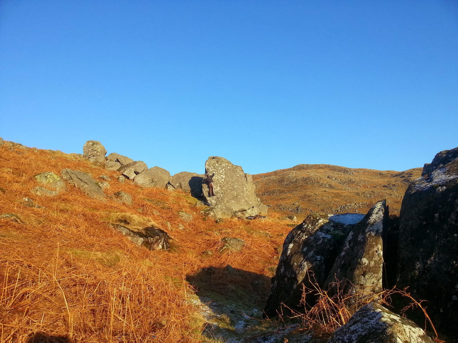
The rock was still a little green and the top-outs coated in spindrift snow, but some stiff-fingered bouldering could still be enjoyed. A fine outlook and good venue, with Creag Iochdair on the east flank looking like it should really be developed more. Good to see another party arrive and brave the icy conditions - if the access to the dam car-parks were resurrected, this would be a popular venue, but an unenlightened and regressive landowning approach seems to be a thorn-in-the-side here. But Scottish law and access rights will prevail...
 |
| Glen Lednock bouldering |

 The rock was still a little green and the top-outs coated in spindrift snow, but some stiff-fingered bouldering could still be enjoyed. A fine outlook and good venue, with Creag Iochdair on the east flank looking like it should really be developed more. Good to see another party arrive and brave the icy conditions - if the access to the dam car-parks were resurrected, this would be a popular venue, but an unenlightened and regressive landowning approach seems to be a thorn-in-the-side here. But Scottish law and access rights will prevail...