
Craigmaddie in wellies

The Plinth, Craigmaddie, Font 6c+

A perfect morning at Craigmaddie on Thursday 12th as the weather finally settles and the blue skies return. Warmed up on the lower roof lip traverse, trying not to slip off into the boggy gunk below. Then settled on the first 6c of the season, 'The Plinth' left hand version. It starts off the plinth, using the big block underneath for the feet, slap up the crimps on the shield, then a crux throw left for the sloper leads to a tricky one foot smear as you stare at the slopey ledge hold for the right hand. Not over yet, an easy-to-fail snatch for the top - a super problem and under-rated - feeling harder as the sandstone is still bleeding a little winter damp and my right hand kept flipping off.


Millstone circle or gnomon? What does the 'H' mean?

Reading up on Craigmaddie Muir, it has some interesting hidden history. Not only is there evidence of Neolithic and Bronze/Iron Age tombs and settlement, this is all confused by an overlay of millstone quarrying. I found some interesting symbols under the big roof, mason marks of all sorts, next to the names A. Cairns and J.Neilson and an unfinished 18** date inscribed on the rock. Must check Bardowie cemeteries for masons...

Cogwheel pits


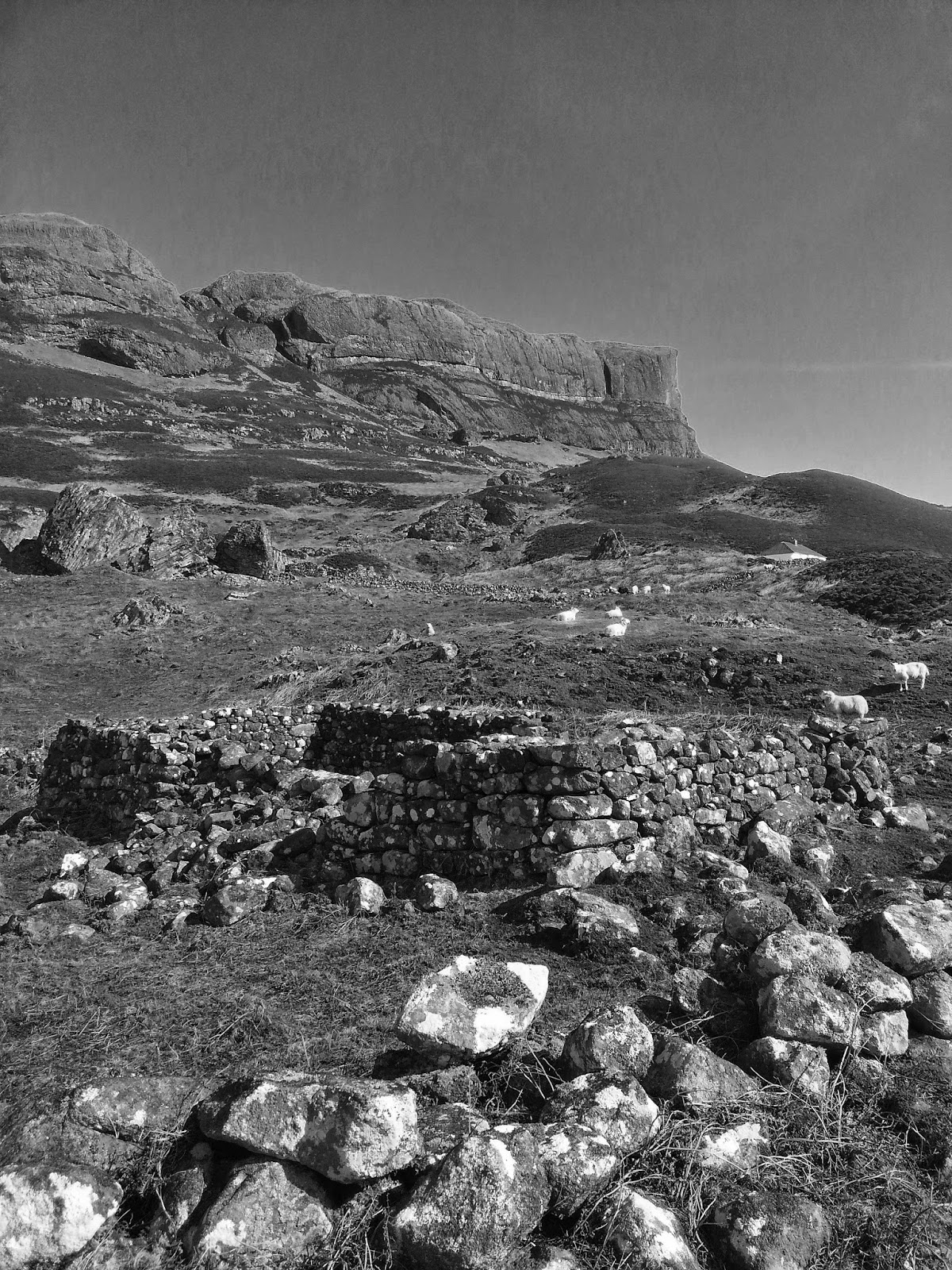
On the plateau are dozens of quarried 'cogwheel' pits distinctive of millstone quarrying. Holes would have been flooded with water and wooden splints inserted under the semi-carved stones. The water would swell the wooden wedges and snap off fully-formed millstones. The quarriers also had a mischievous bent, as there are 'fairy' carvings all over the place, including an Egyptian-style 'eye', a gnomon circle (or millstone peck-tracing), mason marks, names, mysterious 'H' marks, faces on the Auld Wives Lifts (and lots of Victorian graffiti), and even a 'fairy footprint' in the rock, a bit like the King's Footprint at Dunadd, but obviously moulded on a size 6 welly boot... or perhaps this was the ancient seat of a lost kingdom?  I still haven't found the reputed serpent carved in a plinth and reported in an old archaeological survey.

Fairy welly print...


Popular posts from this blog

Vertical Landscapes: Exploring Glasgow's Hidden Bouldering

With the new guide to Glasgow Bouldering forthcoming, and with the last two years spent scouring our local landscapes for vertical diversion, many of us discovered a closer, more nuanced appreciation of climbing and how it helps maintain mental wellbeing as much as physical. The big mountains and wilderness landscapes were for the first time excluded from access and our pandemic taught us all to appreciate the landscapes on our doorstep. Even the urban world has its own small wildernesses and landscapes to immerse ourselves in for a while. For me, the daily walk in lockdown occasionally became a hunt for an esoteric piece of rock spied on the OS map or Google Earth. Rumours of boulders and mythologies of obscure rock were hunted down to help feed a hunger for the vertical. Even Dumbarton Rock was out of range, lying outside of the Glasgow City boundary. It's a venue which famously makes the blood run cold, with fiercely exposed overhanging routes, highball boulder problems and cl...

The Lost Township of Grulin on Eigg

‘The Stony Place’ as it translates, the archaeological notes on the RCAHMS database for Eigg, state baldly the lost humanity of Grulin as early as an 1880 OS survey map: ‘…eighteen unroofed buildings, six enclosures and a field-system’. Now a scheduled monument and memorialised as a ‘depopulated settlement’, though it is not obvious if the verb is passive or aggressive, Grulin Uachdrach (Grulin Upper) is, like Hallaig on Raasay, a place of violent silence and resonance. Who lived here and why was the site abandoned? If it were not in Scotland, suspicions might fall to the climate, remoteness and apparent unsustainability of the stony place, a rabble of large rocks under the steep slopes of An Sgurr, but the carefully constructed walls tell us it was once a thriving township – the kilns, folds and blackhouse walls integrated with the giant boulders such as Clach Hosdail. In 1853 the whole of the village of Grulin, both upper and lower, housed fourteen families who were forced to l...

Timeline Walks of Scotland #Hallaig to Screapadal on Raasay

'Tha tìm, am fiadh, an coille Hallaig ...' Hallaig - the lost village of Raasay - is a powerful place. Arguably, it has become a shibboleth for the soul of Gaelic culture. To visit it, to just be there momentarily and feel the resonance of the place, is to know the fragility of place and home, of how kinship can be shattered and how loss can invade a land. Aptly, Hallaig is now a site of pilgrimage for those who value the universal lessons of history.  There are t errible reasons for the loss of Hallaig. Its silent mouths of abandoned shielings, the dumb sheep meandering amongst the ruins, whisper with Sorley MacLean's poetry. The place misses the sounds of day-to-day community, and all around the woods and burns and slopes this tough but rich landscape once made this a hardy paradise under the eastern cliffs of Raasay. Facing east to the dawn and overlooking the peninsula of Applecross and the berry-dark depths of the Inner Sound, the walk to Hallaig leads quietly...